

See the Earth as it really is in this colouring activity, with no borders between countries, just a sphere sitting in space.
Colouring the Earth
 Brief Description
 Materials
-
Images of the Earth: a political world map, Earth in true colour, Earth at night
-
Earth ball
-
Colouring sheets outlining the continents
 Learning Objectives
- Improve observational skills and creativity.
- Give a sense of global citizenship.
- In this dialogue and activity, children are invited to think about what the Earth is really like. They will learn about man-made features instead of natural features, and will consolidate those concepts with a drawing exercise.
 Background Information
Dialogue
Throughout the dialogue, encourage the children to ask questions. When you are about to give them some new information, ask them to guess why one thing or another occurs (e.g. day and night). The dialogue below is just a path you can take to go from one idea to the next. Feel free to modify and adapt it to your needs.
Country borders:
-
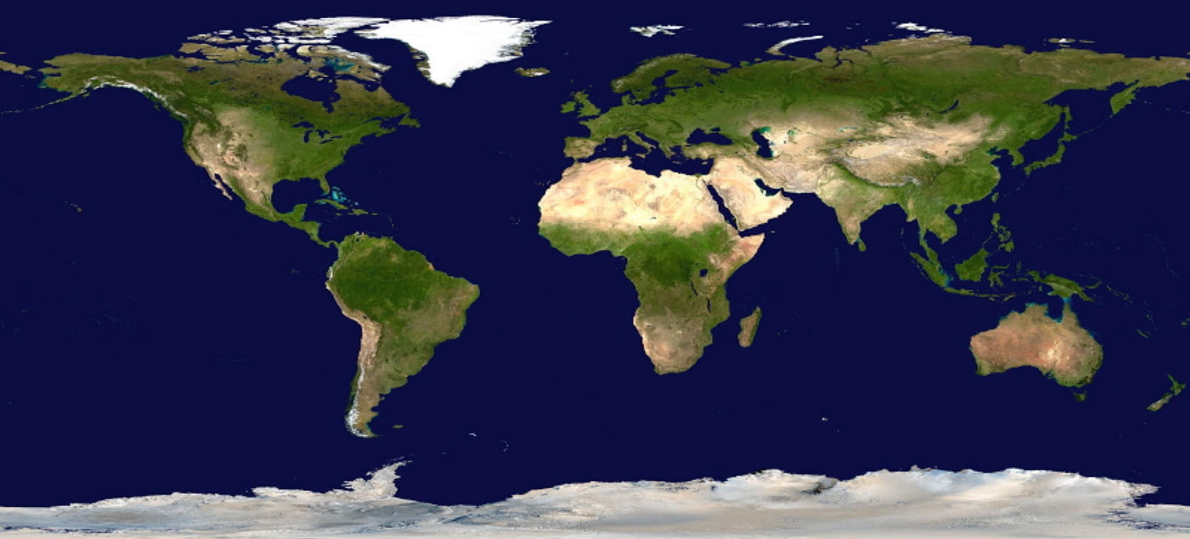
Show the children the political world map (Image 1). A political world map is a map where features like mountains, forests and deserts do not appear but the countries defined using lines. This is the most common type of world map.
-
Ask the children whether they have seen this kind of map before. Ask them if they know where they are and if they can find their own country. If not, you can show them.
-
The map shows borders between countries. You can ask the children who decides those borders (with young children, you can give them options – are the lines decided by nature, people, something else?). The answer is: country borders are defined by people. There are no natural reasons for borders, even if they sometimes follow natural features like mountains or the sea. (This concept will be reinforced along the course of this dialogue).
-
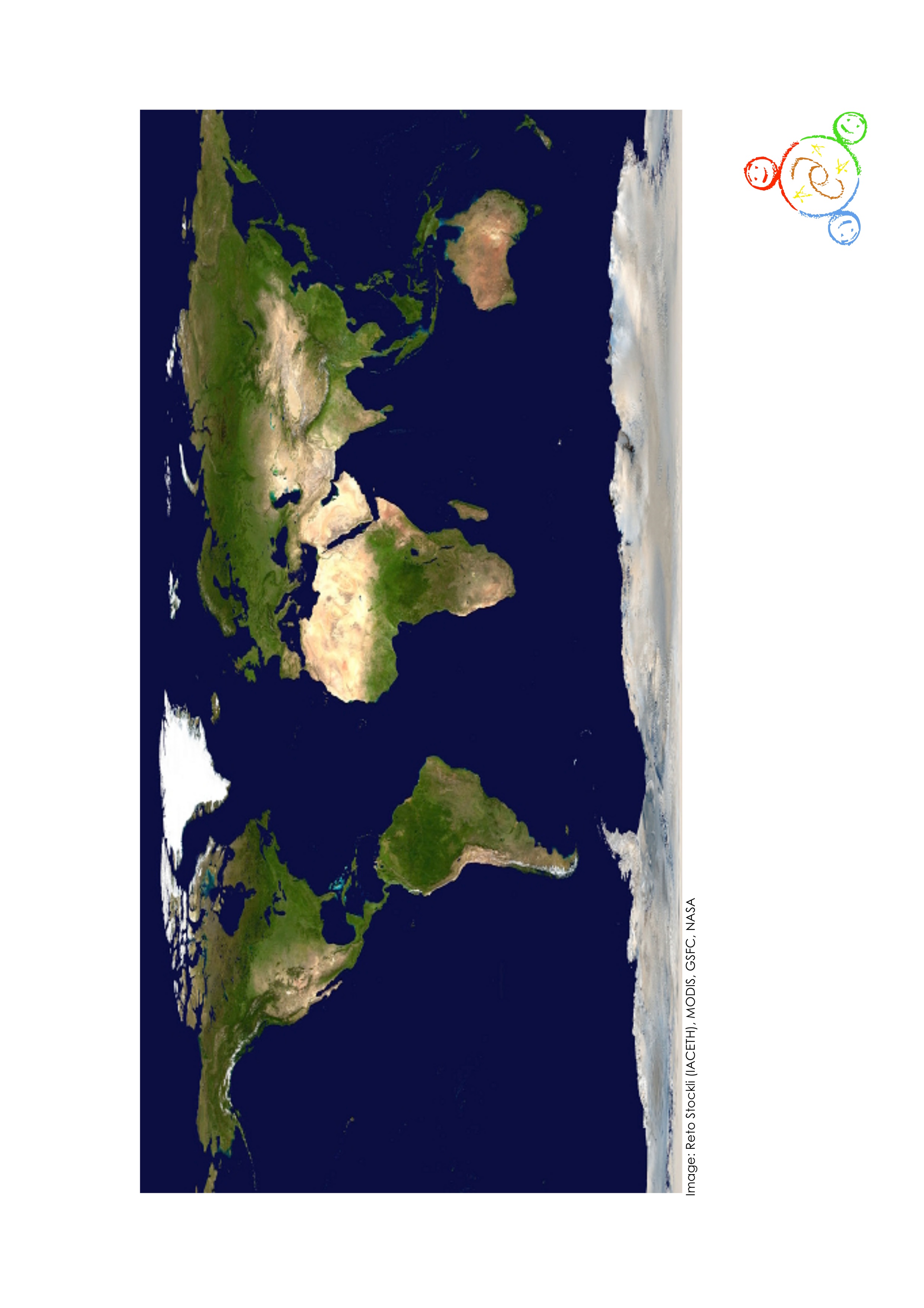
Show them the images of the Earth during the day (Image 3). Ask the children what the differences are between the political world map and these images. The main difference to highlight is the absence of the country borders. The reason for this is that these are real photographs.
The Earth at night:
-
Show the image of the Earth at night (Image 5). Ask the children what they think of it. Tell them to look at the cities and try to identify a few that they recognise. What is the brightest place? What is the darkest place? Can you find the capital of your country? Where do you think people see more stars?
-
Ask the children if they see more stars in a bright place like a city or in a dark place like in the country. The answer is: in the countryside. The reason is that we have less artificial lights in the country. The lights that we turn on at night prevent us from seeing the stars.
-
The lights of our cities can be seen from space. There are so many of us on the planet that you can see the lights we use from space. No other species, plant or animal, can be seen from space.
-
Note that unlike what appears on these images, night and day do not occur at the same time all over the Earth. While one half is experiencing night, the other half is experiencing daytime. You will explain this in the next part of the dialogue.
What the Earth really looks like:
- Bring up the Earth ball and ask the children if they know what this is. The Earth ball is what the planet really looks like from space. Ask the children what differences there are between the Earth ball and the previous two images. The previous images were realistic but not real.
- The Earth ball represents the real planet Earth. It is an image of how the entire planet was some time in 2003. Many images were taken at the same time by satellites and combined to form the Earth ball (you can show them images of the Earth from space to illustrate satellite photographs of the Earth).
- The most obvious difference is that the Earth is round. However, you can see clouds. Clouds belong to the Earth, so do aeroplanes that you can see in the sky. Again, note that there are no borders between countries. Try to find where you are on the Earth ball. Look at your neighbours on the planet. Is it really very different from here? Why should we have country borders dividing us if we are not so different?
Summary and consolidation:
This is the end of the dialogue. A lot of new information has been discovered. Summarise what you just talked about:
-
Country borders are not real; they are a human invention.
-
Clouds, aeroplanes and satellites belong to the Earth; the Sun, Moon and stars are farther out in space.
-
The Earth is round.
-
You can see that humans live on the Earth from space because we use so much light at night.
-
Day and night happen because the Earth turns and only the part of it that faces the sun at any on time is in daylight.
 Full Activity Description
Step 1
Demonstrate day and night
Identify a bright light source where you are: the sun if you are outdoors or an open window if you are in a classroom.
Step 2
Hold the Earth ball so that you can see its shadow well.
Step 3
Ask the children to notice the difference between where the Earth is facing the light : daytime., and where the Earth is in the shadow, it is: night.
Step 4
Demonstrate that the Earth turns on itself. Mark one point on the Earth ball and follow it into the light and back into the dark. You can carry out this demonstration yourself or involve the children in it.
Step 5
Colouring session
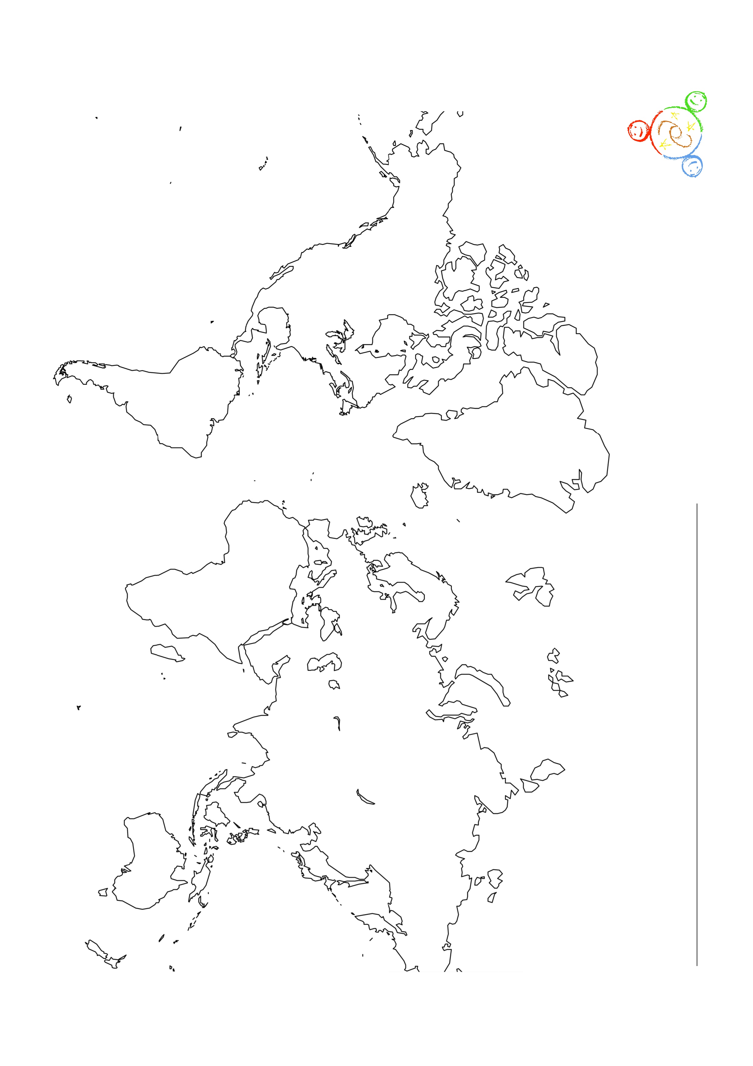
Distribute the attached image of outlined continents to the children (Image 7). You can distribute it randomly; you don’t have to show them the usual way of seeing the Earth.
Step 6
Ask the children to colour in the Earth. The level of detail will vary according to their ages.
The aim of this exercise is to have the children think about what was discussed in the background science and to consolidate it in a creative activity where they re-interpret it. According to increasing level of difficulty, this is what you can ask the children to colour in and draw (encourage the children to use their imaginations):
-
Continents vs. oceans
-
One representing daytime, one representing night time
-
One image only, but part of the planet in daytime and part of it in night time
-
Clouds, aeroplanes or satellites
 Additional Information
Extension
Instead of a colouring session, a larger and more realistic world map can be created in papier-mâché or simply painted to complement the political world map. This can involve many children at once and can be hung in a classroom or a meeting hall.
You can use this activity to complement a geography lesson. It turns out that without country borders, it is difficult to locate countries, but continents still make sense.
You can ask the children how they would travel from one place so another without aeroplanes and cars (like people did many centuries ago) and you use that to contextualise big migrations through the ages.
Note that people used the stars to find their way both at sea and on land.
 Evaluation
In this activity, we use representations of the Earth. Only the Earth ball is a real image.
Always ask the children if they found this fun, and if they learnt something. If you ask them to recollect what they learnt, they will think about it one more time, which reinforces their learning. It is important, however, that the children don’t just memorise concepts.
Here are a few questions that you can ask the children after the activity to evaluate their understanding of the concepts approached and their attitudes towards those concepts.
We influence the whole planet: we draw lines between countries and we make the planet bright at night:
-
What is the biggest difference between the maps we have in schools and in books, and the way the Earth looks from space?
-
Have country borders always been there? Do they change? Why? Are we different from our neighbours?
-
If we were on a mission in space looking for life and we came across the Earth for the first time, would we see that there is life on the planet?
-
What signs of life would we see?
-
From where can we see the stars best? At night, do you prefer to see the stars or street lights? What can you see when you look up at the night sky? How far away are the stars? Do they change like the clouds?
-
The Earth is a planet; it is a sphere. Day and night are caused by the Earth turning on its own axis.
-
What shape is the Earth? Why do we believe that?
-
What is the biggest difference between day and night?
-
Is it day and night everywhere at the same time? If not, then which images and maps are wrong/manipulated?
 Keywords
 License
 Attachments
 Downloads
